GEOTECHNICAL ENGINEERING
IRVING
HomeSeismicSeismic microzonation

Seismic Microzonation in Irving, Texas: Local Ground Response Analysis

Site investigations you can build on.

LEARN MORE

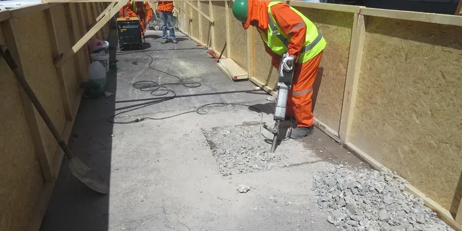
The subtle yet significant transition from the Blackland Prairie to the Eastern Cross Timbers cuts right through Irving, creating a patchwork of stiff clays, shale, and alluvial deposits. This geological boundary means seismic ground motion can vary dramatically within half a mile. A uniform code-based design spectrum often misses these local amplification effects. Our seismic microzonation work directly measures site period and Vs30 profiles across these soil transitions, providing the site-specific data required for ASCE 7 Chapter 21 compliance. When working on a multi-building campus near the Trinity River, we combined this mapping with targeted CPT testing to correlate low shear-wave velocity zones with the soft floodplain silts, refining the spectral acceleration demands for each structure footprint.

In Irving, two sites a block apart can have different spectral accelerations due to the rapid change from shale to alluvium.

Our service areas

Process and scope

A recent mid-rise project along the SH 114 corridor required a site-specific response analysis after preliminary borings revealed a buried paleochannel at 35 feet. Standard code values would have underestimated the short-period amplification. We performed a grid of downhole Vs measurements and ran one-dimensional equivalent-linear analyses using DEEPSOIL. The resulting microzonation map divided the 12-acre lot into three ground motion zones, allowing the structural team to optimize the lateral system zone by zone. This approach integrated field data from SPT drilling to constrain the soil profile, ensuring that the modulus reduction curves matched the actual plasticity indices of the Taylor Marl, not generic assumptions. The output was a set of design response spectra that saved the owner significant foundation concrete compared to a blanket worst-case assumption.
Seismic Microzonation in Irving, Texas: Local Ground Response Analysis
Technical reference — Irving

Site-specific factors

The risk profile north of Highway 183 differs sharply from the Las Colinas area. In northern Irving, stiff Eagle Ford Shale at shallow depth produces short site periods and low amplification, typically mapping to Site Class C or D. South of the Trinity River, the deep alluvial deposits can push the fundamental site period well above 1.0 second, driving a Site Class E designation and significant long-period amplification. This contrast became critical during a warehouse evaluation where the central fill section sat on 40 feet of normally consolidated clay while the loading dock was founded on shale. The microzonation map revealed a 40% difference in short-period spectral acceleration between the two ends. Ignoring this would have introduced a hidden irregularity into the diaphragm design.

Need a geotechnical assessment?

Reply within 24h.

Email: [email protected]

Watch the video

Reference standards

ASCE/SEI 7-22: Minimum Design Loads for Buildings, IBC 2024: International Building Code, Chapter 16 (Structural Design), ASTM D7400 / D4428: Downhole and Crosshole Seismic Testing, NEHRP Provisions: Seismic Site Classification and Amplification Factors

Technical parameters

ParameterTypical value
Site Classification (IBC)Site Class C, D, and E mapped per Vs30
Analysis Method1D Equivalent-Linear (DEEPSOIL) or 2D/3D if basin effects govern
Vs Profiling Depth100 ft minimum, typically to engineering bedrock (Vs > 2500 ft/s)
Hazard LevelBSE-1N, BSE-2N (MCER), per ASCE 7-22
Output ParametersPGA, Ss, S1, Fa, Fv, site period, amplification spectra
Liquefaction TriggeringSeed & Idriss (1971) with NCEER updates, Idriss & Boulanger (2014)
Groundwater CorrectionMeasured seasonal high, typically 10-20 ft depth in Irving

Common questions

What is the cost range for a seismic microzonation study for a typical commercial lot in Irving?

For a commercial lot between 2 and 10 acres in the Dallas County area, a complete seismic microzonation study typically runs from US$3,970 for a targeted single-structure analysis up to US$16,490 for a multi-zone campus-scale mapping with 2D basin effect evaluation. The scope includes the Vs profiling, laboratory dynamic testing, and the final design spectra package.

How many shear-wave velocity measurement points are needed for a defensible microzonation map?

The IBC requires at least one measurement per 2,500 ft² for Site Class determination, but for true microzonation we typically space measurements on a 150 to 300-foot grid depending on stratigraphic variability. In Irving, where the shale-to-alluvium transition can be sharp, we often densify the grid along suspected geological contacts to capture the boundary accurately.

Do you use the Texas-specific seismic hazard maps or the national USGS data?

We use the USGS Unified Hazard Tool data for the exact latitude and longitude, then perform site-specific amplification using measured Vs and dynamic soil properties. Texas does not publish state-specific probabilistic maps that differ from the national USGS source, so the 2022 ASCE 7 ground motions for the Irving area come directly from the USGS database with our site-specific corrections applied.

Can the microzonation results reduce the seismic design category for our Irving project?

Yes. When blanket assumptions place a site in Site Class E due to conservative soil descriptions, a measured Vs30 profile often demonstrates that the site actually falls into Site Class D. Moving from E to D can drop the design spectral accelerations by 20-30% for short-period structures, directly reducing lateral force demands and foundation costs. We have successfully achieved this for several warehouse and office projects in the Las Colinas area.

Location and service area

We serve projects in Irving and surrounding areas.

View larger map