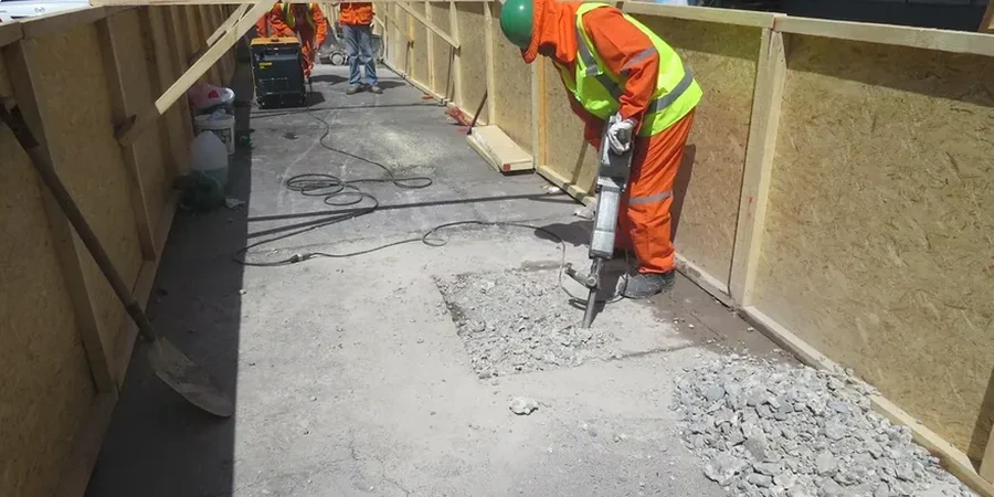
In Irving we have seen how the expansive clay formations east of the Trinity River can surprise even experienced contractors. You might be on a straightforward utility trench near MacArthur Boulevard and suddenly the sidewalls start creeping inward after a summer thunderstorm. That is why we run test pits early in the program to verify the depth of the Eagle Ford Shale and confirm where the weathered zone actually begins. Monitoring instrumentation goes in before any mass excavation starts, because once movement begins the data you missed is gone forever. Our field team has been on deep mixed-use excavations along the 114 corridor and on smaller cut-and-cover jobs around Las Colinas, and the lesson is always the same: the ground does not care about your schedule. You need real-time tilt, settlement, and crack-width readings, and you need someone who knows how to interpret them when a front rolls through and the dewatering pumps start working overtime.
In Irving clays, the difference between a stable excavation and a blowout can be less than half an inch of unregistered lateral movement.