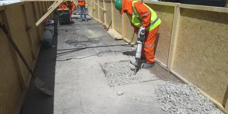
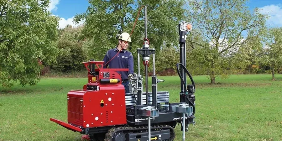
The geology beneath Irving tells a story of ancient seas and shifting rivers. Much of the city sits on the Eagle Ford Shale and Woodbine Sandstone formations, capped by Pleistocene terraces and floodplain alluvium along the Trinity River tributaries. The expansive clay soils here—particularly the Smectite-rich Eagle Ford—can swell up to 10% in volume when saturated, a condition that wreaks havoc on shallow footings. For geotechnical engineers working across Las Colinas or the Heritage District, the cone penetration test provides a continuous stratigraphic profile that captures these transitions between stiff clay and weathered sandstone. Unlike traditional borings that recover disturbed samples every few feet, CPT data reveals thin sand lenses and fissures that could channel water beneath a slab. In Irving's commercial corridors, where high-rise construction has accelerated near the Urban Center, the need for precise subsurface characterization has never been greater.
Continuous CPT profiling captures thin sand lenses and perched water tables in Irving's Pleistocene terraces that conventional borings routinely miss.