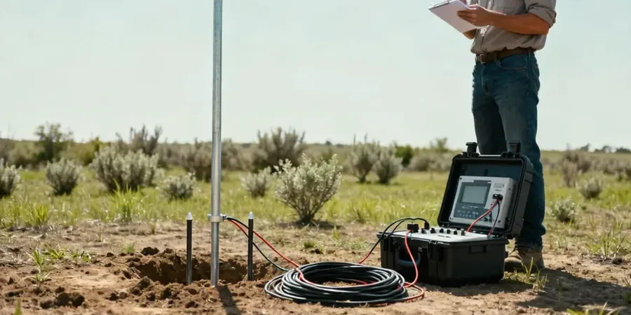
Irving sits at 482 feet above sea level on the Eastern Cross Timbers ecotone, where expansive Eagle Ford Shale meets Trinity Group sands. That contact zone creates abrupt resistivity contrasts that standard drilling alone can misinterpret. Our team runs VES surveys across Las Colinas, Valley Ranch, and the Heritage District to map these transitions before a single borehole is drilled. We use the Schlumberger array with AB/2 spacings out to 300 feet, pulling apparent resistivity curves that distinguish saturated clay from dry sand without disturbing the formation. For deeper targets, we combine the VES data with a seismic refraction profile to cross-check bedrock depth where the shale-sandstone interface is ambiguous.
Resistivity contrast between Eagle Ford Shale and Trinity sands is sharp — 6 to 12 Ωm versus 40 to 80 Ωm. VES catches that boundary without touching the formation.
Process and scope
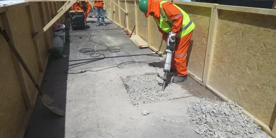
A recent warehouse project off SH-161 hit a surprise: what the preliminary geotech report called 'stiff clay' turned out to be a 12-foot lens of water-bearing sand at 18 feet depth. The contractor lost three days dewatering. We ran a 5-point VES array across the pad and spotted the lens on the second sounding — resistivity jumped from 8 Ωm in the clay to 65 Ωm in the saturated sand. That kind of lateral discontinuity is invisible to a boring spaced every 200 feet. Our field setup uses a Syscal Pro 48-channel unit with stainless steel electrodes and a 12V battery source, recording AB/2 increments of 1.5, 2, 3, 5, 7, 10, 15, 20, 30, 50, 75, 100, 150, 200, and 300 feet. Each sounding takes roughly 45 minutes on site. The raw data undergoes 1D inversion using IPI2Win software with an RMS error threshold below 5%, and we deliver interpreted layer models showing thickness and resistivity for each geoelectric unit.