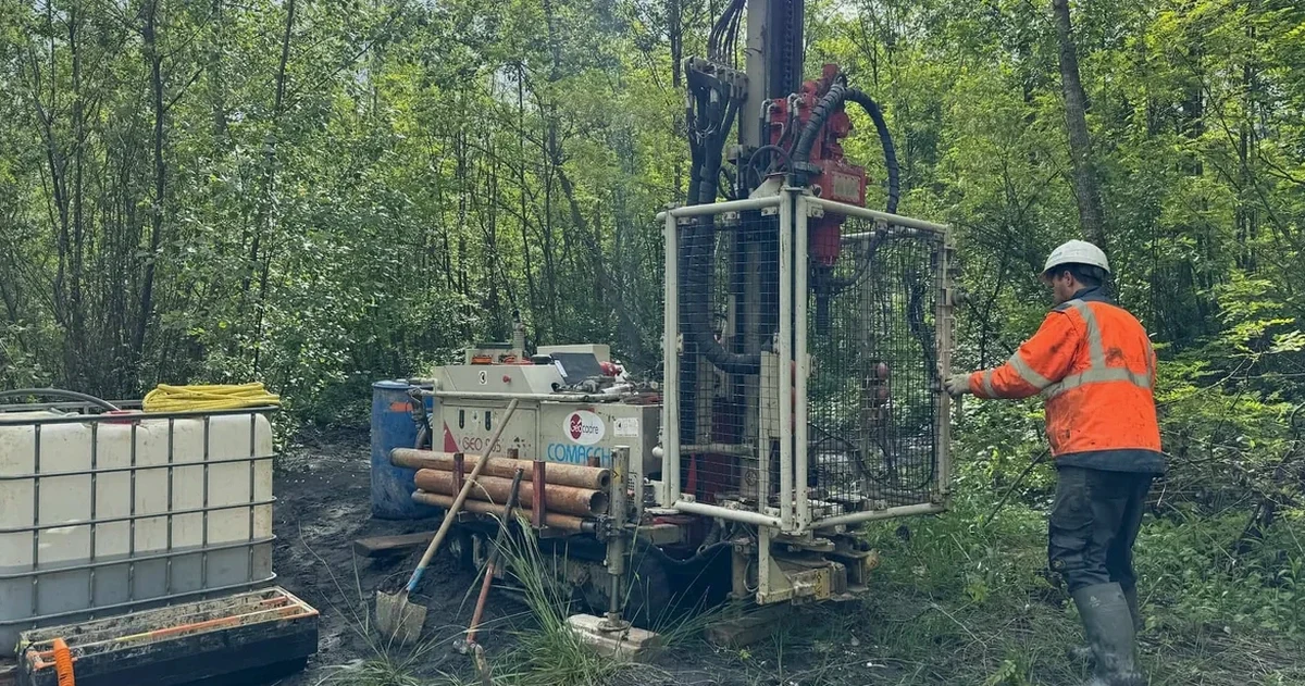
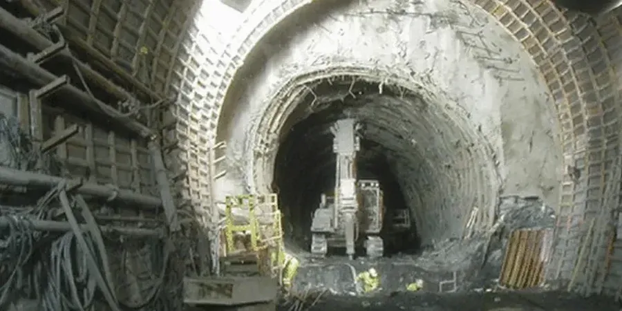
When we roll up to a site in Irving, the first thing off the truck is the split-spoon sampler and the Shelby tubes. That clay doesn't lie. The eastern side of the city sits on the Woodbine Formation — stiff, overconsolidated clay with interbedded sands — while the western sections run into the Eagle Ford Shale, which weathers fast once it hits air and moisture. We've pulled samples across Las Colinas and Valley Ranch where the stratigraphy changes in less than two hundred feet. A proper test pit program helps us map that transition visually, letting us identify fill zones and weathered seams before the drill rig even fires up. The city's average elevation of 480 feet doesn't mean much until you factor in the Trinity River floodplain deposits that cut right through the southern corridor.
Expansive clay in Irving doesn't announce itself — it shows up three years after construction as a cracked slab or a tilted retaining wall.